by Michael Shackleford • Nov. 5, 2013
Key Facts
- Southwest terminus: Intersection of Saint Rose Parkway and Bowes Avenue. Trail starts on the north side of Bowes, across from the M casino.
- Northeast terminus: Saint Rose Parkway, between Coronado Center Drive and Paseo Verde Parkway.
- Distance: 5.1 miles.
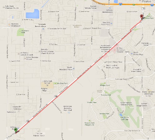
Click on any image for a larger version. Image from GoogleMaps.com.
This is a simple straight trail that parallels Saint Rose Parkway the entire time. There are some busy street crossings but it is otherwise a fast and open trail.
The trail is actually in a skinny H shape, with a pedestrian bridge in the middle. Taking the leg of the H north of Saint Rose Parkway, and west of the bridge is highly ill-advised. That section of the trail is not finished in places and in poor repair. The route I follow in this trail description stays on the south side of Saint Rose between the M and the pedestrian bridge, crossing at the bridge, and north of Saint Rose until the northeast terminus.
These photos were taken starting from the southern terminus, by the M casino. I also have a video of the trail. In the video, I stay on the south side of St. Rose Parkway the entire time.


Here is the beginning of the trail, across Bowes Avenue from the M. There is plenty of parking at the M. I would also highly recommend the trail for anyone staying at the M looking to get in some running.

The Saint Rose section has lots of very attractive shaded benches like these. The number of people I saw sitting on them was zero.

Off we go! Keep an eye out for the rock and wire sculptures along the trail, like this one on the left. Looks like the turtle and rabbit just started a race. You can see who won at the Willow Park Trail.

Educational signs along the way too.

First street crossing at Executive Airport Drive.
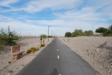
A nice straight shot. If you get tired there are lots of granite benches along the way, like this one on the left.
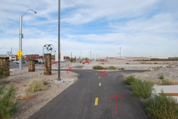
Maryland Parkway Crossing. For now, this is as far south as Maryland Parkway gets. Just go around the left side of those barricades, and the trail resumes on the other side.
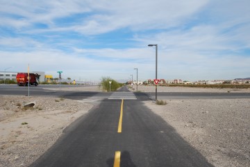
Alper Center Drive. Not much cross traffic, so just zip on through.
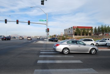
Seven Hills Crossing. This is the first busy street you'll have to cross. The trail resumes directly on the other side of the crosswalk.
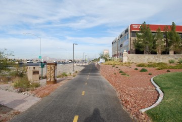
The trail is still nice and straight. The scenery changes from vacant lot to urban sprawl.
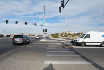
Jeffreys Street crossing. Trail resumes directly on the other side of the crosswalk.
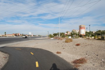
This seems unnecessary to me, but they divert the trail to the sidewalk from here to that shopping center entrance.
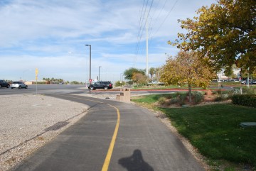
Here is the entrance to the Saint Rose Dominican Hospital.
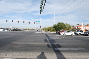
Eastern Avenue Crossing. Trail resumes on other side of crosswalk.
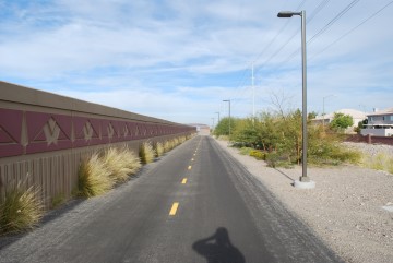
The wall is something different to look at.
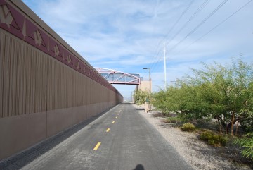
The pedestrian bridge is coming up.
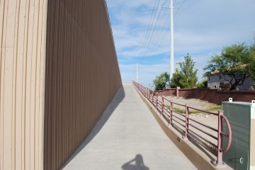
The ramp entrance is to the right of the trail.
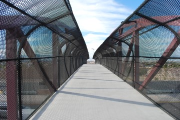
Over the top.
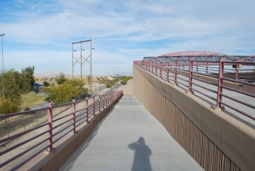
Down the north side.
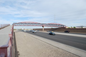
Here is what the bridge looks like from the north ramp.
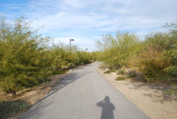
There is more vegetation on the north side.
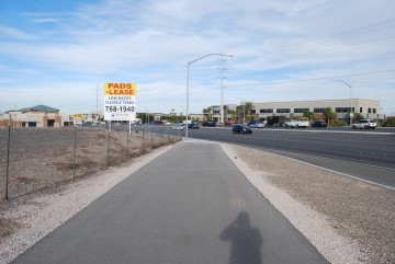
I don't know exactly where the trail ends, but here, where it turns into sidewalk, seems like a good spot.
To continue to the East Beltway Trail, follow along the sidewalk for about 0.3 miles.

Here is a map of the network of Henderson trails. The photo was taken at the southern terminus, but I saw other copies along the way.


