
Lower Las Vegas Wash Trail
by Michael Shackleford • Nov. 16, 2013
Key Facts
- Western terminus: Tropical Parkway, just east of Valley Drive.
- Eastern terminus: Arcata Way at E Alexander Road.
- Distance: 5.8 miles.
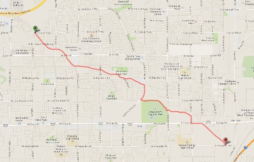
Click on any image for a larger version. Image from GoogleMaps.com.
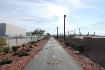
This is a long urban bike path in North Las Vegas. It mostly follows along a drainage canal through a combination of residential and industrial areas. The trail is wide, well maintained, decently landscaped, and gets very little use. Most of the trail is well lit, with lots of benches, and occasional water fountains. On the other hand, it follows along surface streets about 20% of the time, and without a guide, such as this, it would be easy to lose the trail. There are frequent street crossings and the trail makes lots of curves and bends, so it would be frustrating to anyone who enjoying a fast pace.
These photos were taken starting from western terminus, traveling east.
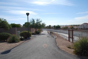
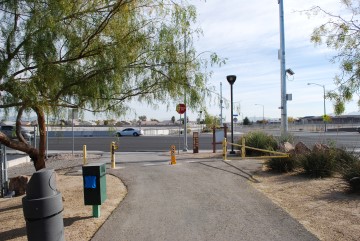
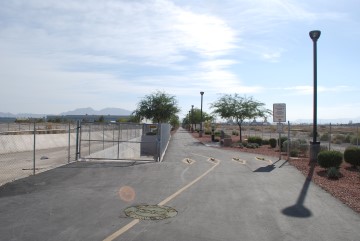
Start of the trail off Tropical Parkway. There is no parking along the street, but plenty of residential areas nearby.

And we're off!
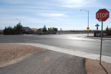
Intersection of El Campo Grande Avenue and Willis Street. Go kitty-corner through the intersection.

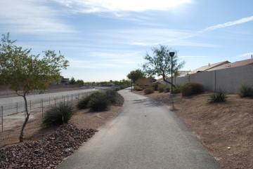
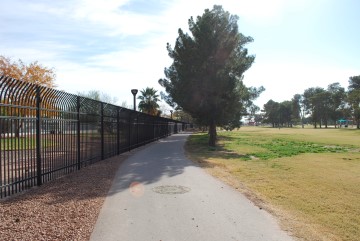
Nice landscaping on the left side.
Allen Lane crossing. Trail resumes directly on other side.
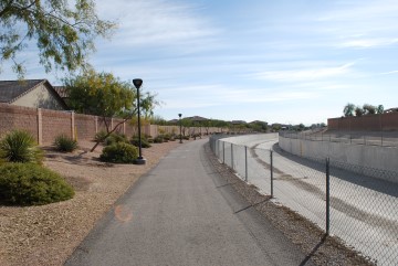
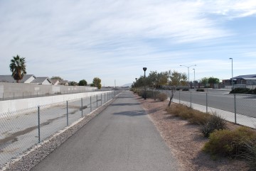
The trail continues to follow along the drainage canal.
Approaching Ann Road.
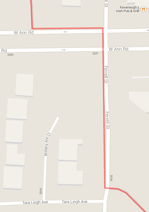
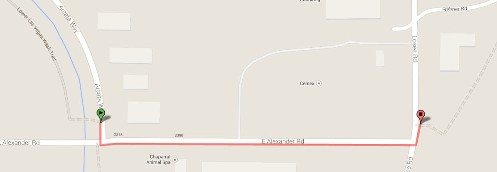
You'll have to follow along the street a short distance in this spot. Turn left onto Ann Road. Then make a right turn onto Ferrell Street. The trail resumes on the east side of Ferrell. The map above shows how to get through this section.

On Ferrell Street. The trail resumes on the other side of the street here.
Note how the drainage is now on the left side.
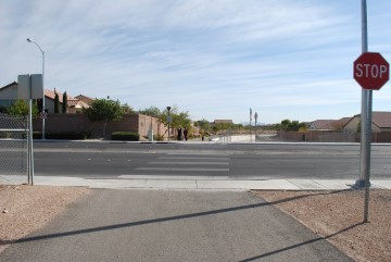
Simmons Street crossing. Trail resumes directly on other side of Simmons.
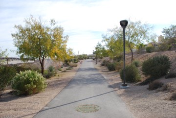
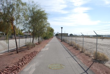
I enjoy these nice straight sections.
Several water fountains along the way, like this one on the right.
Approaching Clayton Street.
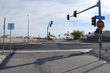
Clayton Street crossing. Trail resumes on other side.
These photos were taken on Nov. 16, 2013. The trees are shedding their leaves.

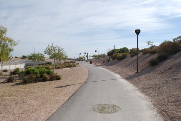
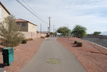
As long as you see these round trail markers on the trail you know you're going the right way.
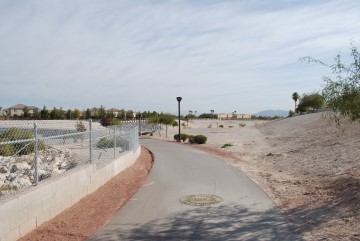
Lots of turns in this section as the trail follows a natural wash on the left.
Back to the man-made wash and the trail is straighter.
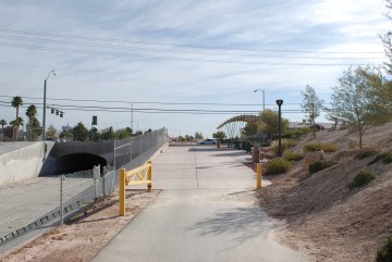
Approaching Camino Al Norte.
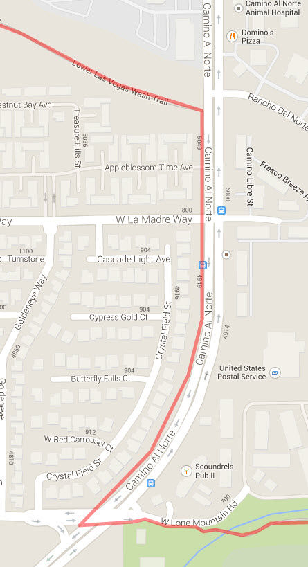
The trail goes along the road for a little while. Turn right onto Camino Al Norte. Then make a left onto Lone Mountain Road, which leads immediately into Craig Ranch Park. The trail follows the north edge of the park.
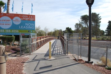
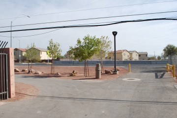
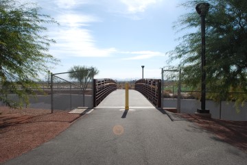
When you get to the park, look for this bridge. This is where the trail resumes.
It is nice to be back on the trail.
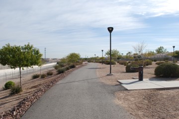
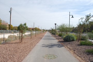
The trail goes along the north side of Craig Ranch Park.
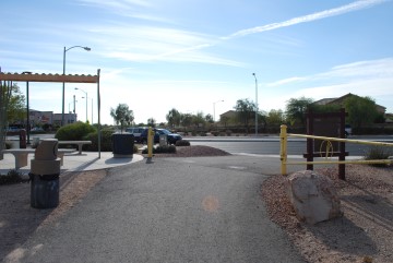
Commerce Street crossing. Take the left fork here.
Cross Commerce Street here. The trail resumes on the other side.
Now you are back to the north side of the drainage.
Cross this bridge here, back to the south side of the drainage.
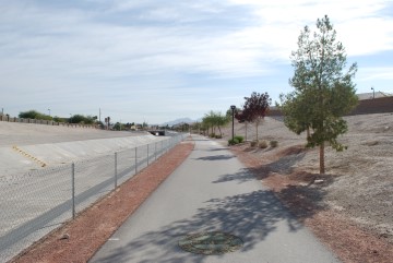
A nice straight section again.
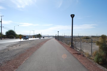
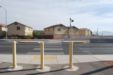
The trail leads to the west side of 5th Street, where you parallel it south along this path. If 5th Street sounds familiar, it changes its name to Las Vegas Blvd (the "Strip") further south. No casinos this far north, however.
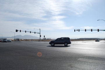
When you get here, the intersection of 5th Street and Craig road, you'll be forced onto the street again. You want to go kitty-corner through the intersection and then head east on Craig.
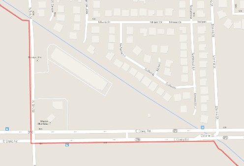
This map shows how to navigate this section of the route.
The trail resumes here, on the south side of Craig Road.
Now you're in the stinky industrial section of North Las Vegas. Considering that this is the ugliest part of Las Vegas, the trail still looks quite nice.
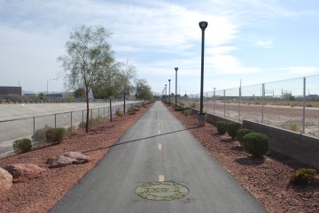
Did I mention that I love these nice straight shots?
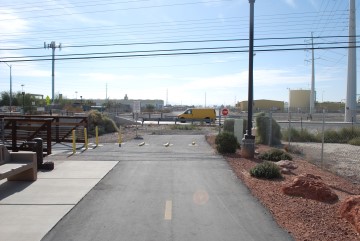
The trail suddenly comes to an end here. Turn left onto that bridge which leads to Arcata Way. Just south is Alexander Road, which that yellow van is on. You may notice what looks like a trail on the other side of Alexander. When I was there a broken fence was blocking that section. At the time of this writing (Nov 16, 2013) GoogleMaps indicates the section south of Alexander is still under construction, although it looked finished to me.
If you want to get to the Upper Las Vegas Wash Trail, go east on Alexander until you get to Losee Road. You'll see a fire department building on the other side of Losee. The Upper Las Vegas Wash trail starts to the south of that Fire Department building.
Go to index of Las Vegas exercise trails.
Related Articles:
-

Much Ado About Two
Sep 16, 2015 -
Craps Not Set in Stone?
Sep 19, 2022 -
MGM Resorts
Jan 20, 2016 -
How Do You Lose? (Part II of III)
Apr 08, 2016 -
SlotZilla
Oct 12, 2015