
Upper Las Vegas Wash Trail
by Michael Shackleford • Nov. 16, 2013
Key Facts
- Southern terminus: Intersection of E Alexander Road and Losee Road, on the east side of Losee, just south of the Fire Department building.
- Northern terminus: E Deer Springs Way, about 500 feet east of Donna Street.
- Distance: 4.1 miles.
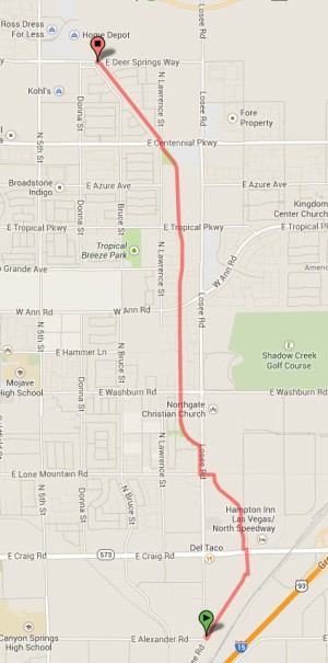
Click on any image for a larger version. Image from GoogleMaps.com.
This is a long urban bike path in North Las Vegas. It mostly follows along a drainage canal through a combination of residential and industrial areas. The trail is wide, well maintained, decently landscaped, and gets very little use. On the down side, there are lots of street crossings and this industrial area is the stinkiest part of Las Vegas.
These photos were taken starting from southern terminus, traveling north.
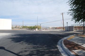
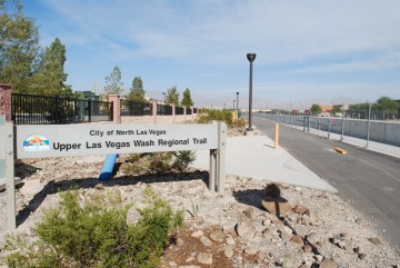
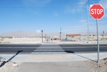
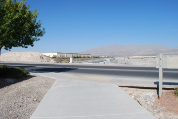
The trail officially begins just south of that sign that says "City of North Las Vegas Fire Department Administration," on the other side of Losee Road. I say "officially" because the trail is mostly on streets until you get to Craig Road, where it starts to get fun.
The Fire Department Administration building is on the left and a drainage canal on the right.
Go north on Frehner Road, straight ahead, until the end.
Here is where Frehnar Road ends. The path continues at the end of the crosswalk.
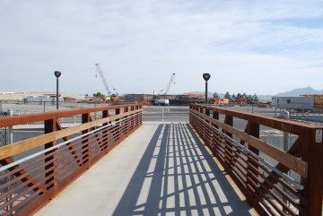
A short distance later you'll cross this bridge.
Then go north on Berg Street.
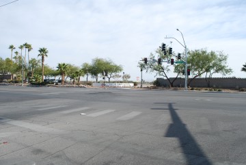
Approaching Craig Road. The trail resumes just to the left of the other side of the crosswalk.
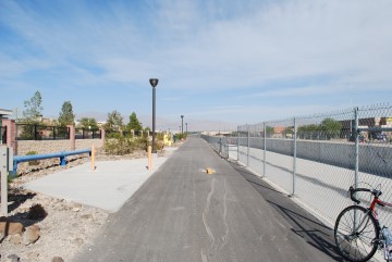
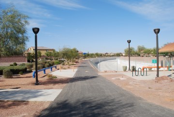
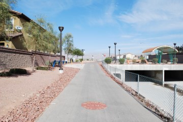
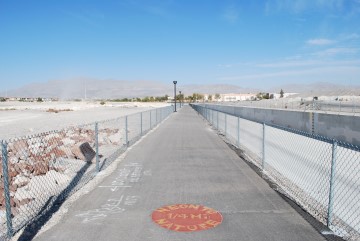
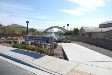
Here is where the route truly becomes a trail.
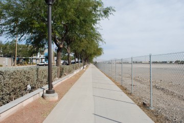
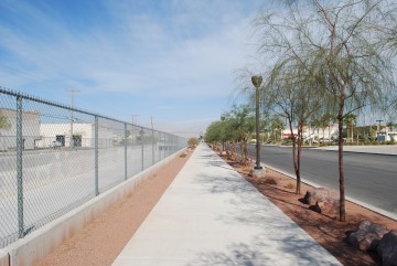
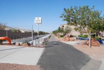
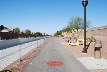
The rest of the way you follow along this drainage on the right.
Another sunny day in Vegas.
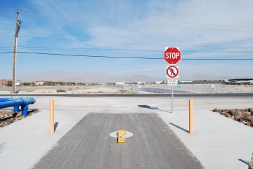
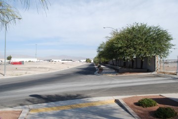
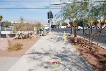
Approaching Lone Mountain Road. Turn left just before the street.
The path goes west along Lone Mountain Road a very short distance until Losee Road.
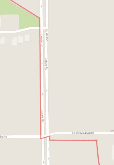
Go kitty-corner through the intersection, to the northwest corner. There is a path on the west side of Losee Road until the path resumes about 1000 feet up.
Here is where the path resumes, on the other side of the street. You shouldn't be on this side of Losee Road at all, as there is no path or even a bike lane. I didn't know any better when I took these pictures.
It is nice to be back on the path again.
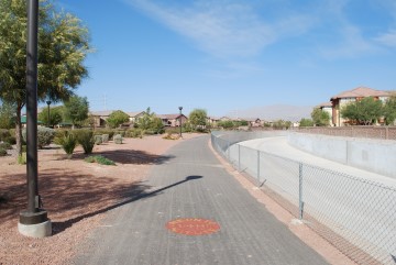
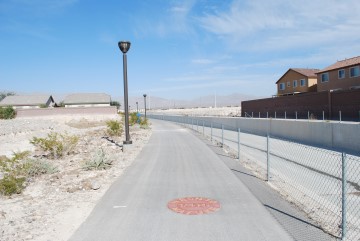
Nice desert landscaping on the left side.
Washburn Road crossing. The path resumes on the other side.
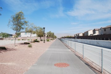
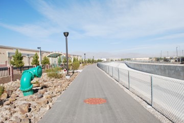
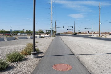
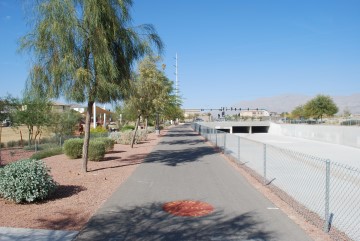
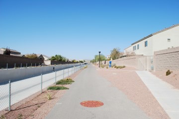
I like these open straight sections.
Approaching Ann Road.
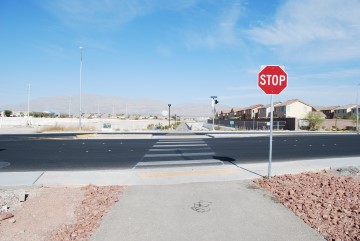
Ann Road crossing. Further west, Ann gets heavy traffic, but this far east there is hardly any. Trail resumes on the other side.
Stay strong and carry on.
Approaching Tropical Parkway.
Tropical Parkway. Trail resumes on the other side.
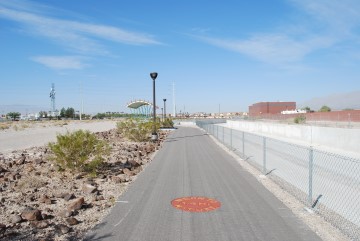
What happened to the desert landscaping?
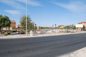
Approaching Centennial Parkway.
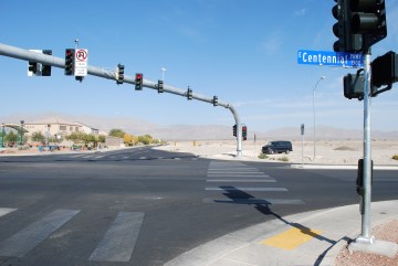
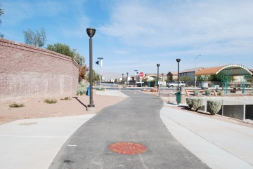
Go kitty-corner through this intersection of Centennial Parkway and N Lawrence Street. The trail resumes by the awning on the left side of the photo.
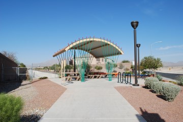
The trail resumes here.
Did I mention I like these nice straight sections?
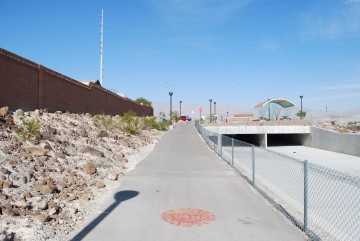
Not much landscaping, but at least the path is lit.
The ending at E Deer Springs Way.
Here is what the northern terminus looks like from Deer Springs Way.
Go to index of Las Vegas exercise trails.
Related Articles:
-

SlotZilla
Oct 12, 2015 -
Much Ado About Two
Sep 16, 2015 -
Session Lengths
Feb 21, 2017 -
Craps Not Set in Stone?
Sep 19, 2022