by Michael Shackleford • Oct. 21, 2013
Key Facts
- Southern terminus: Bonanza Trail — Near the K-Mart in the Summerlin Parkway shopping center at Buffalo Drive and Washington Avenue.
- Northern terminus: Wayne Bunker family park.
- Distance: 4.0 miles.

Click on any image for a larger version. Image from GoogleMaps.com.
The Lone Mountain trail is one of the longer exercise paths on the west side of Las Vegas. It is mostly dedicated paths but does go along streets in sections. Aside from going past some parks, it isn't a very scenic path, but if you're looking for a place to walk or run away from traffic, I think you'll like it.
Usage of the path is surprisingly low. What few people I've seen on it were runners and pedestrians. While bicyclists won't be bothered by many pedestrians, it will be slow-going due to frequent street crossings. I'm not sure if the low usage is because the path isn't visually appealing, it can be difficult to follow, it goes through some sketchy areas, or people don't know it is there.
The photos in this page start at the Bonanza Trail junction and head north.
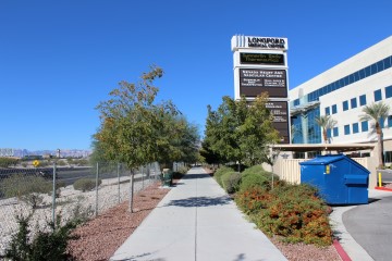
Here is where I claim the southern terminus is. Look for this big marquee, which is about half way between Buffalo and Tenaya on the Bonanza Trail.
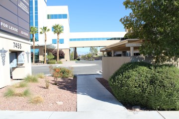
When you get to the bench by the marquee, face north and you'll see this pedestrian bridge between the medical building and the parking garage. Go under it. Googlemaps indicates the path actually goes around the parking garage, which seems to me like two unnecessary turns. The map by the bench also indicates the route goes under the bridge.
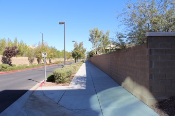
After going under the pedestrian bridge, go along this wall until you get to Washington Avenue.
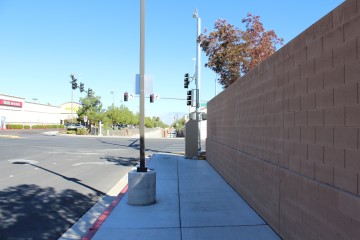
Here is the Washington Avenue crossing. The path resumes directly on the other side, between the set of brown fences.
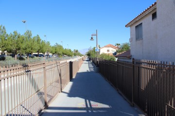
Just stay between the fences. You can't get lost here.
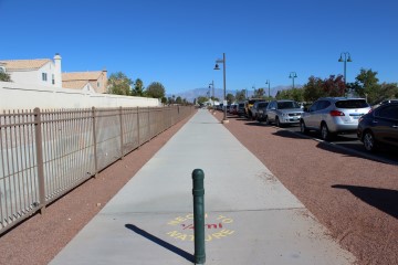
Pioneer Park is the right.
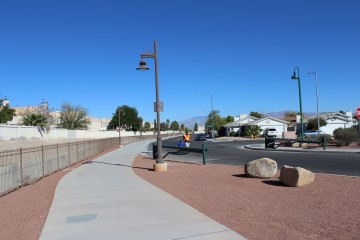
After passing the park keep heading north on the sidewalk.
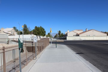
This is the Vegas Drive crossing. The path resumes a little bit to the left of the other side, alongside the white wall on the left.
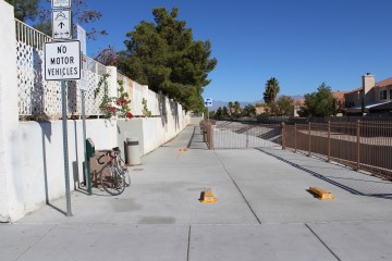
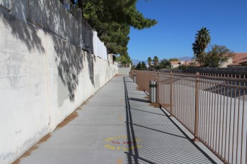
Here is the path entrance on the north side of Vegas Drive.
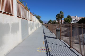
You'll stay along the white fence for a while, with a small flood canal on the right.
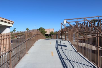
Next you come to the Lake Mead Blvd bridge. Turn right here to cross the bridge or go straight to get to Lake Mead Blvd itself. If you're doing a loop involving the Pueblo Park Trail (something I often do) this is where you would exit the trail, turning left on Lake Mead, until you get to Pueblo Park. Otherwise, to stay on the Lone Mountain Trail, turn right here.
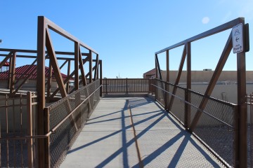
After making the right turn.
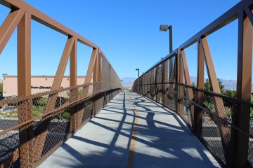
Going over the bridge.
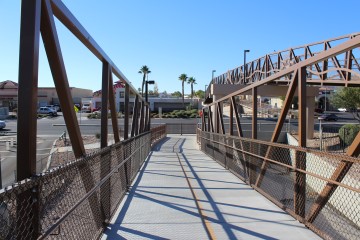
Heading down the other side. When you get to the street, turn left. Then make another quick left down that side street you see on the left.
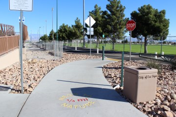
On the north side of Lake Mead Blvd. Turn left here and stay along the left side of that park.
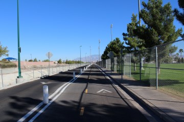
I think the name of that park on the left is the "Betty Wilson Complex." Just keep heading straight north.
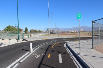
Here you want to turn left, going over that little bridge with green railings.
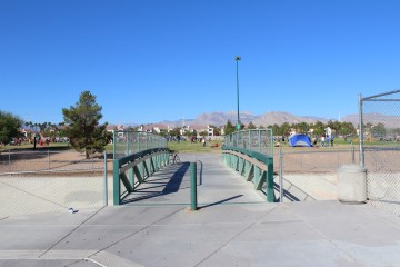
The bridge with green railings. That park ahead is yet another one in Vegas that doesn't have a conspicuous name.
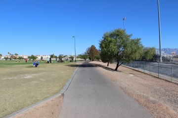
After crossing the bridge with green railings make a quick right turn and continue heading north.
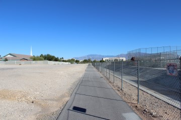
That flood canal is once again on your right.
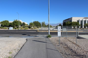
The Smoke Ranch Road crossing. The trail continues almost directly on the other side of the street.
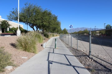
Here is what the trail entrance looks like on the north side of Smoke Ranch Road.
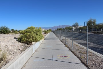
A straight shot north until the next street.
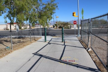
Here is the Peak Drive crossing. On the other side head down that side street straight ahead.
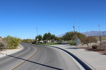
Entering Doc Romeo Park. For the scenic route, stay on that sidewalk straight ahead. If on a bicycle I would stay on the street, despite some nasty speed bumps.
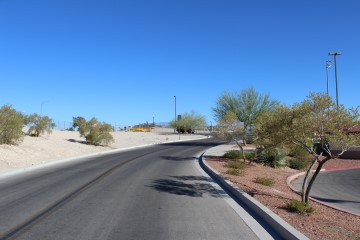
Here is the north entrance/exit to Doc Romeo Park. Follow the street until you get to those yellow gates.
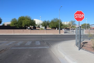
After passing the yellow gates, turn right onto Ronemus Drive.
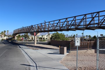
Then make a quick right onto the Cheyenne Ave Bridge.
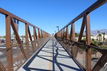
Crossing the Cheyenne Bridge.
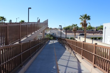
When you get to the bottom of the bridge, make a quick U-turn to the right.
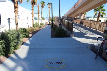
Here is the trail entrance on the north side of Cheyenne Avenue.
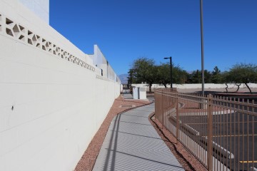
Head north, with that white wall on your left.
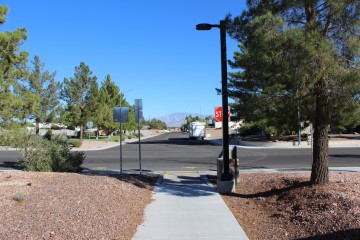

This is the most important part of this whole page. Here you want to turn right onto Atwood Avenue. There is no map or signage indicating you should do so. You'll just have to trust me on this one. The city could spend millions on bridges crossing Lake Mead and Cheyenne, but they couldn't spend $100 on a sign at this spot, where the trail seems to suddenly disappear.
I also include a close up of this section from GoogleMaps. I drew the red line slightly off the streets so you could see the names, but stay on the streets.
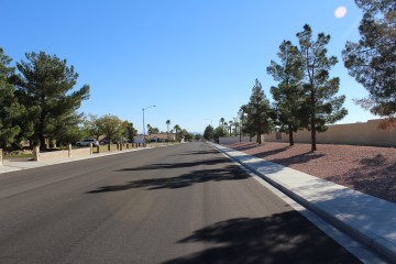
Heading north on Atwood Drive
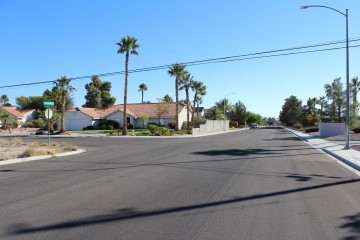
After about 500 feet heading east on Atwood Drive, make a left turn onto Pioneer Way. Again, there is no trail signage at all in this spot. Just take it on faith to do so.
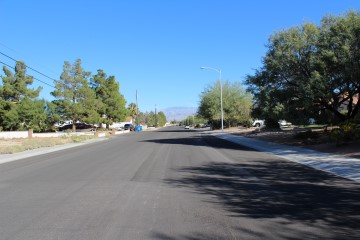
Heading north on Pioneer Way.
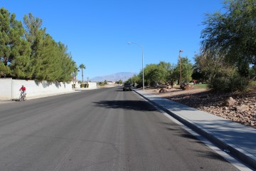
After crossing through Buckskin Avenue you'll come to Buckskin Basin Park on your left.
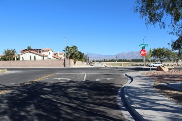
Pioneer Way ends at Gowan Avenue. The trail continues directly across the street.
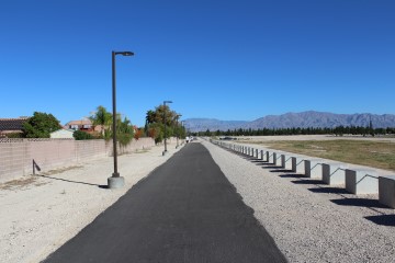
Now you're back on trail.
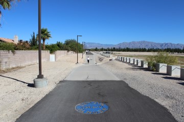
Just keep heading north. That is a flood basin on the right.
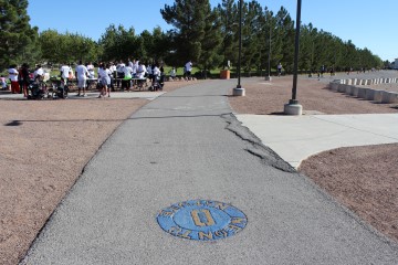
Here is where I consider the northern terminus of the trail to be, as you enter the Waye Bunker Family Park. For extra credit you can make a lap around the park. This concludes my description of the trail. Following are some miscellanous other pictures from the trail.
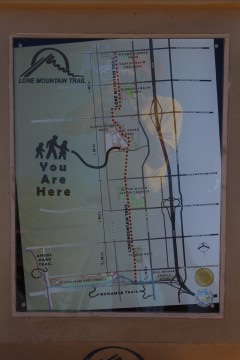
Trail map.
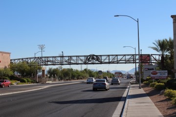
The Lake Mead Blvd bridge seen from a distance.
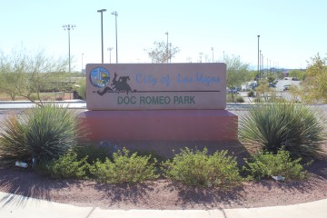
Doc Romeo Park sign, as seen entering from the north side.
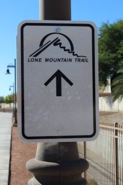
Trail marker. You'll see lots of these.
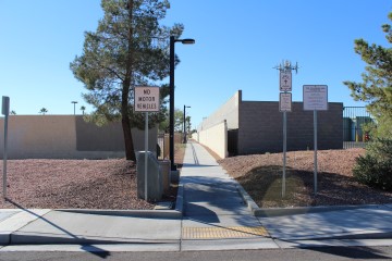
Here are some instructions on getting from Gowan Road to Cheyenne Avenue, if starting from Waye Bunker Family Park:
- When you get to Gowan Road, keep going straight down Pioneer Way.
- Make a right when you get to Atwood Avenue.
- After about 500 feet make a left onto the path where you see the above photo.
- Follow that path a short way to the Cheyenne Avenue bridge.
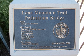
Links
- Go to index of Las Vegas exercise trails.
- Lone Mountain Trail video.


