

Trails Park Trail
by Michael Shackleford • Oct. 15, 2013
Key Facts
- Eastern terminus: Trails Park, Summerlin
- Western terminus: Untitled park just east of the Merryhill School and Summerlin Community Church.
- Distance: The path drawn in red on this map is 1.3 miles.
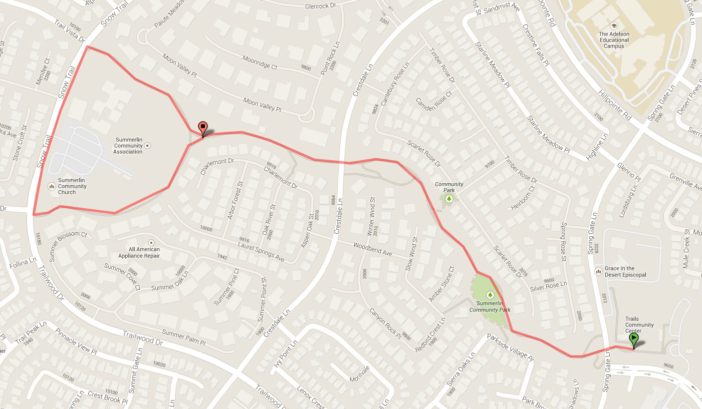
Click on any image for a larger version. Image from GoogleMaps.com.
This is a nice trail in the Summerlin community of the Trails. I don't know what the proper name is for the trail, if it even has a name, but I always visit it from the Trails Park, so I refer to it as the Trails Park Trail.
This trail is very popular among walkers, many accompanied by dogs. These dog walkers often have spontaneous stop-n-chats in the middle of the path, so runners often have to run off the path to avoid the obstructions they cause. Due to heavy traffic, this path is not bike friendly, unless the biker doesn't mind a safe slow pace.
The trail is in a very residential area, with numerous side pathes leading into different communities. There are lots of playgrounds along the path separated by well maintained desert landscaping. The trail is most popular among families with young children, dog walkers, and the elderly.
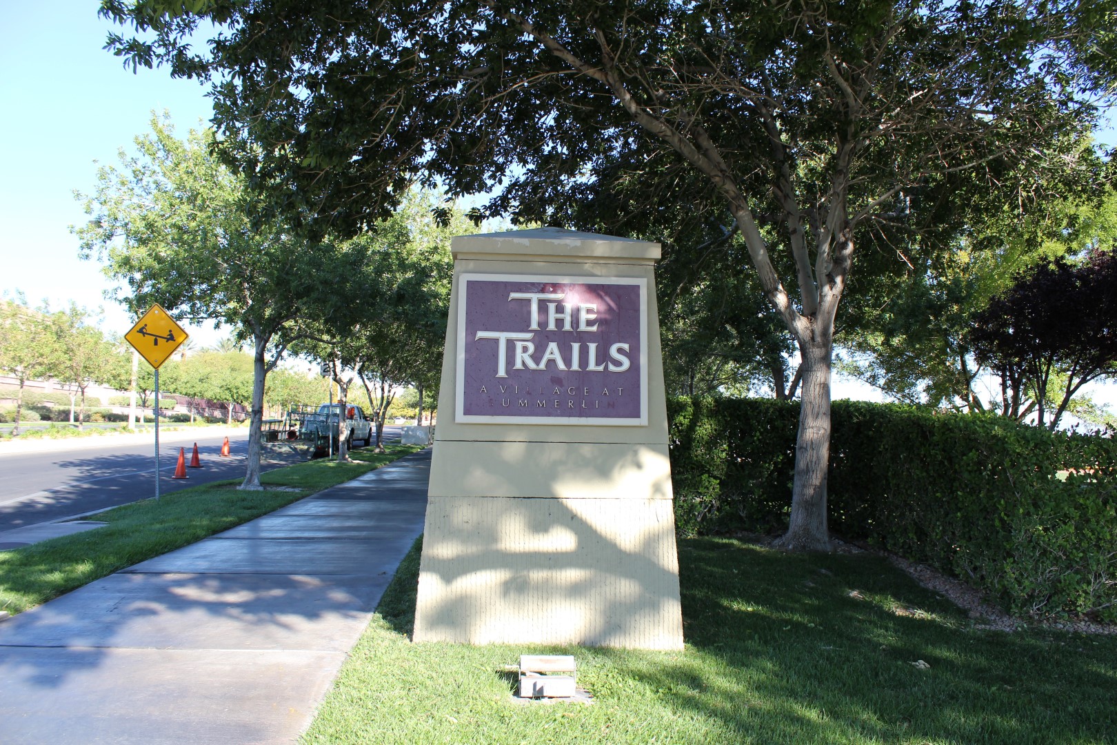
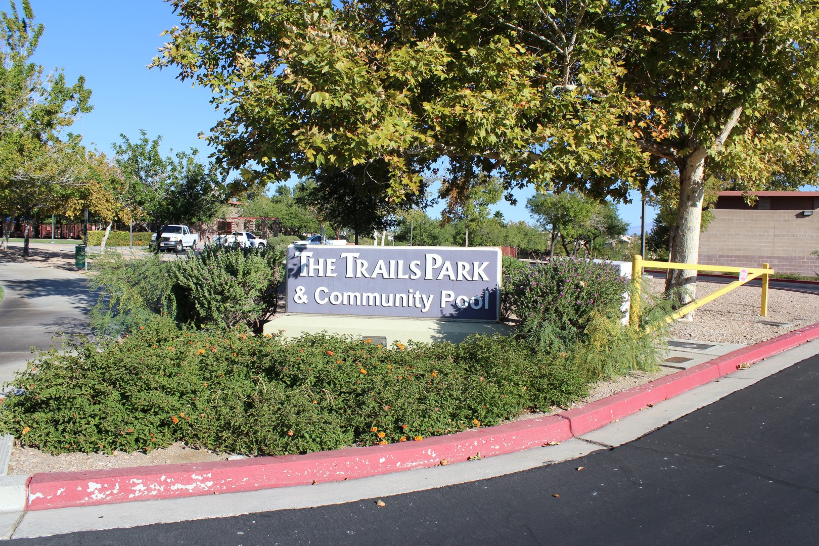
The Trails Park is a larger park, featuring two baseball diamonds, a playground, water features, swimming pool, and community center. There is parking by the pool.
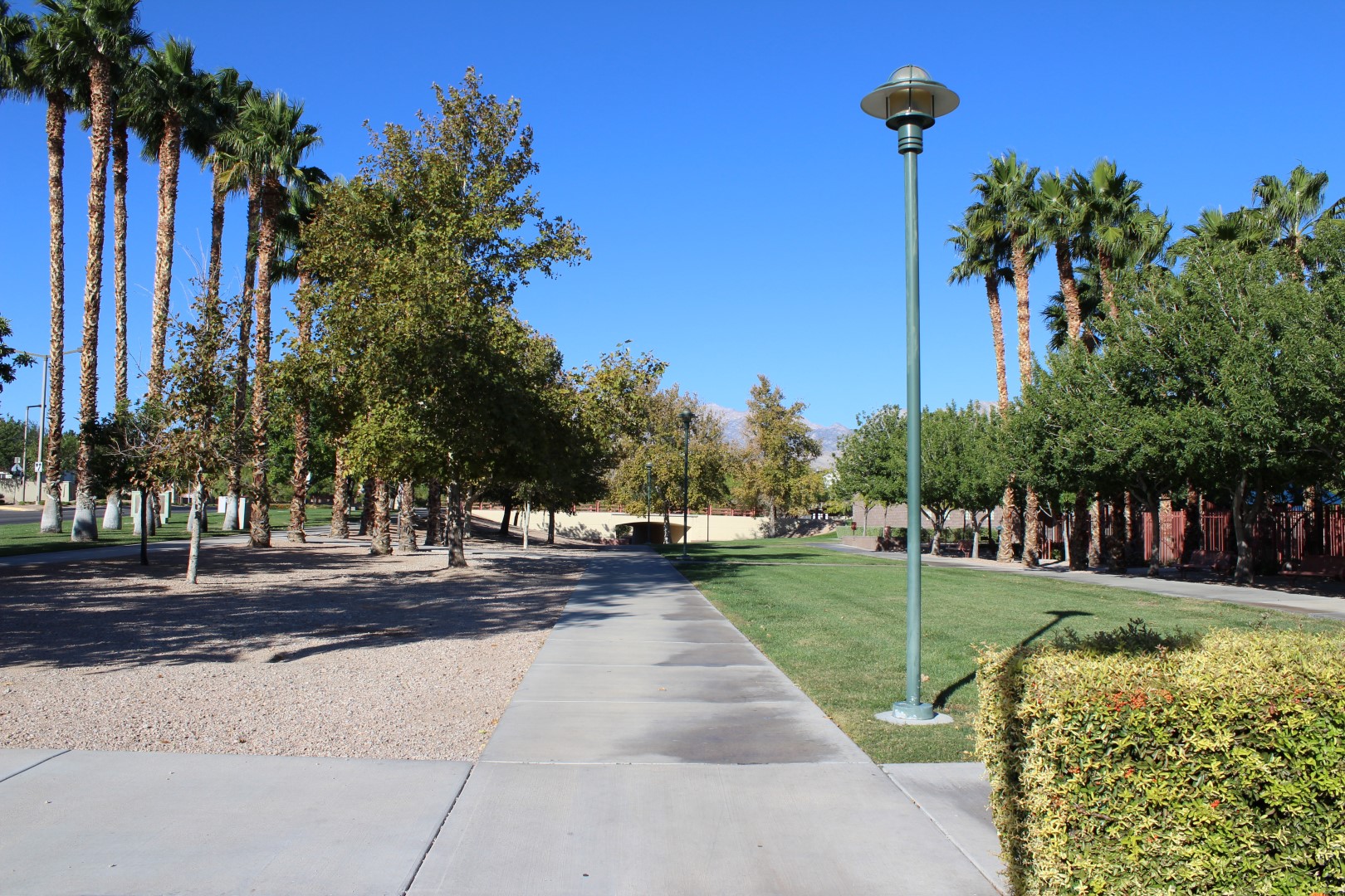
I consider this to be the eastern terminum of the trail. The red fence on the right is for the community swimming pool. Straight head is the Springs Gate Lane underpass.
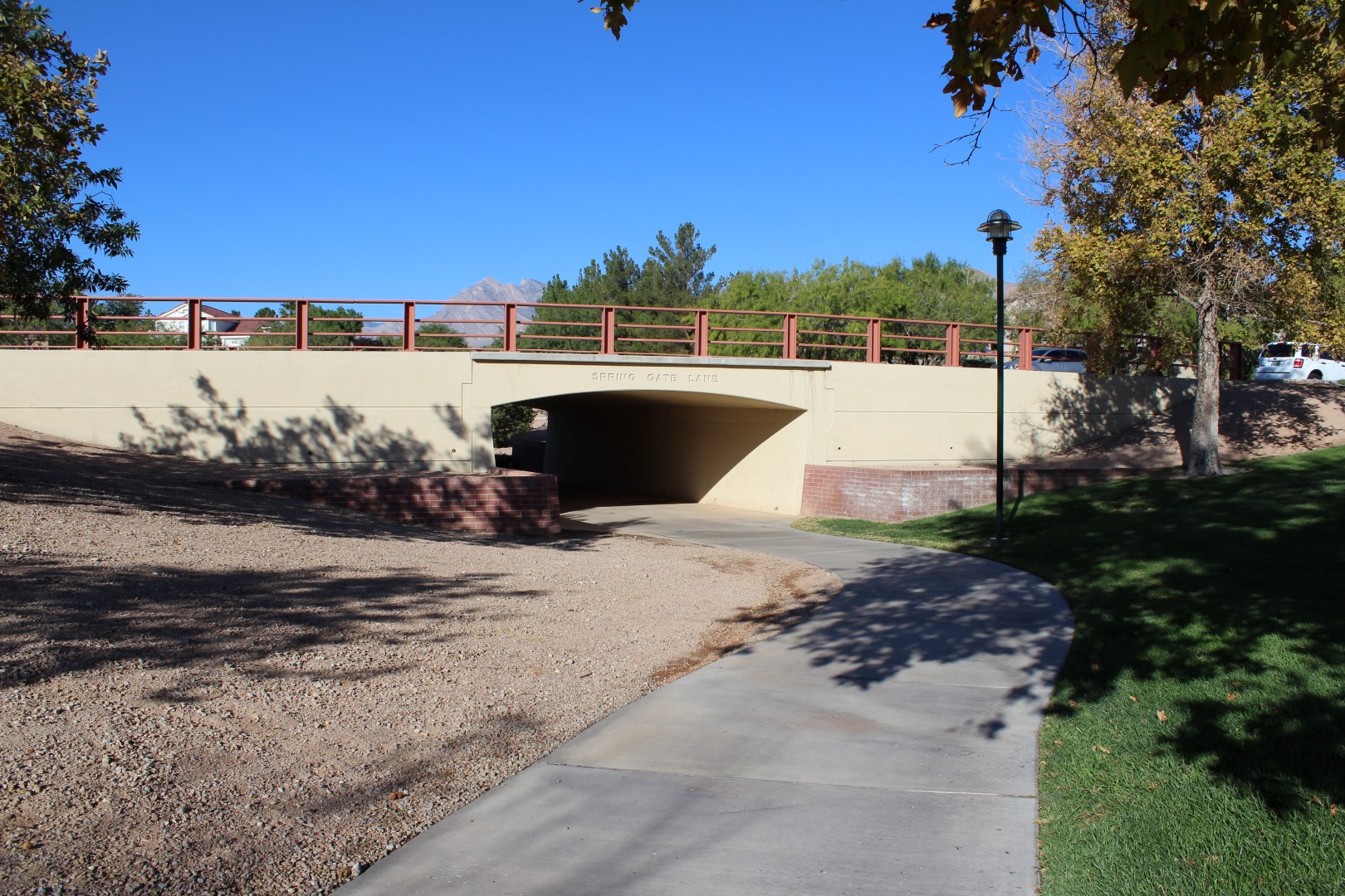
Spring Gate Lane underpass. This area is subject to flooding after it rains, in which case, go across Spring Gate Lane.
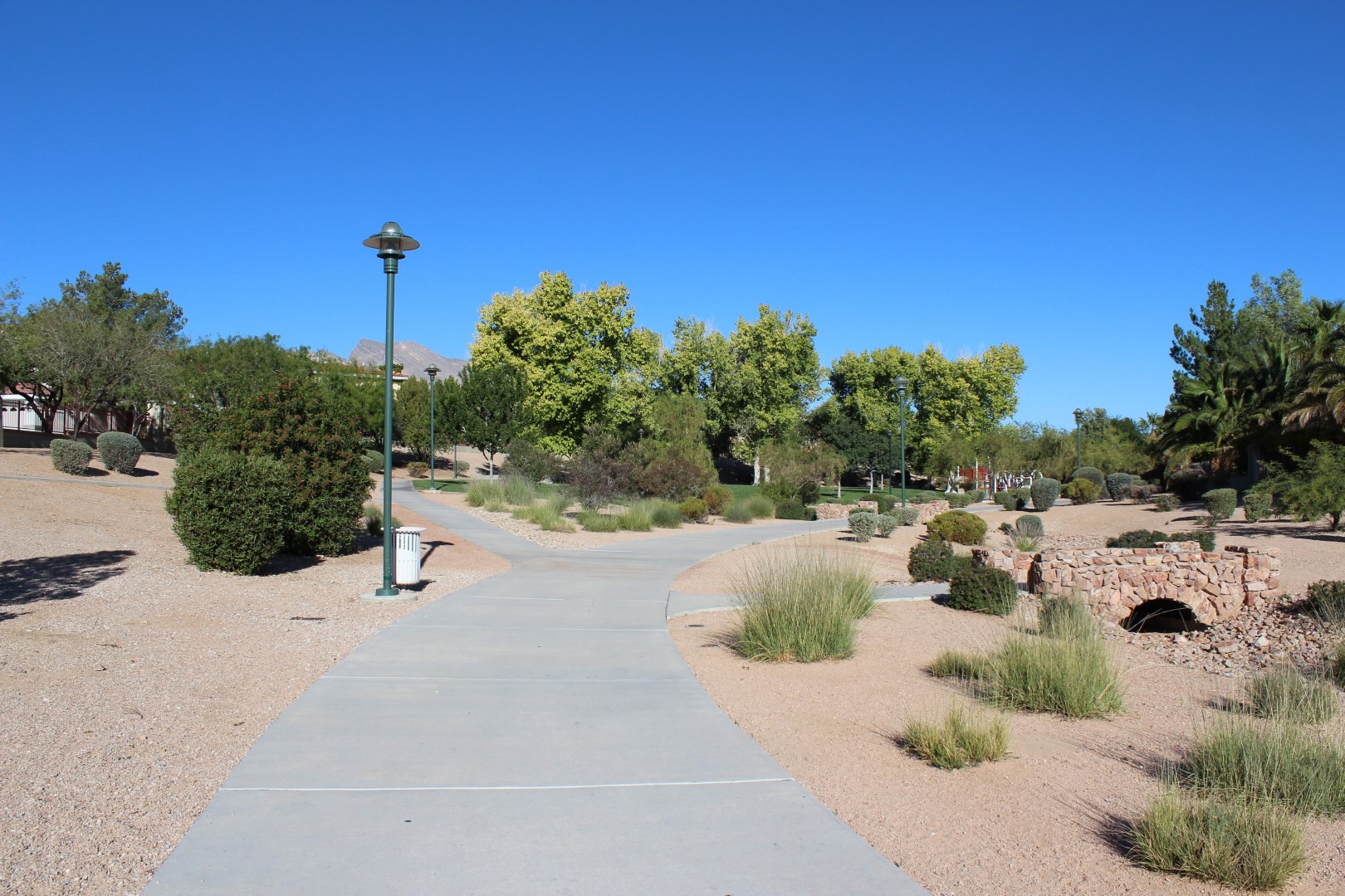
Stay to the right here. When it doubt, always stay on the wider path.
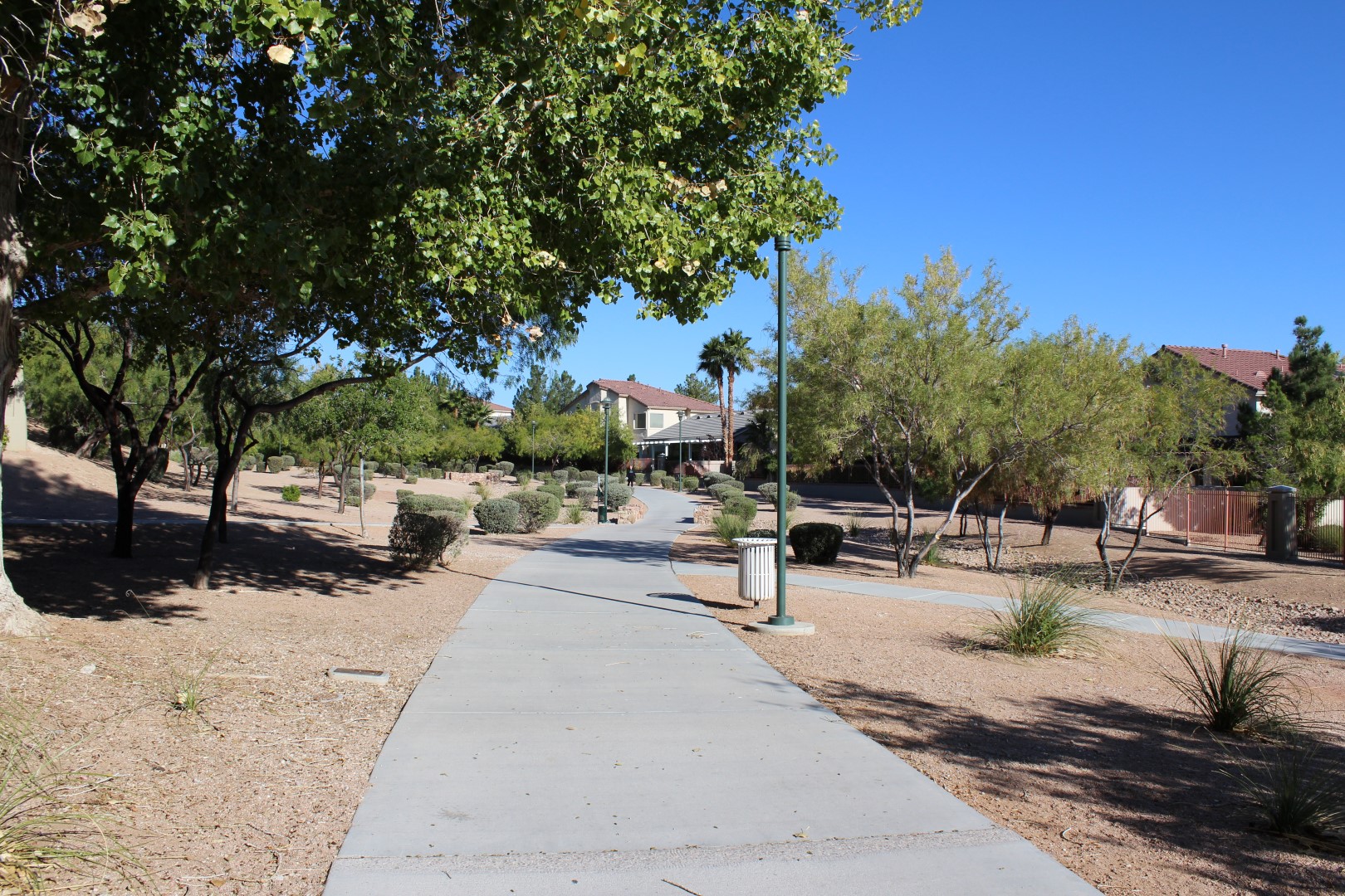
Most of the trail looks like this.
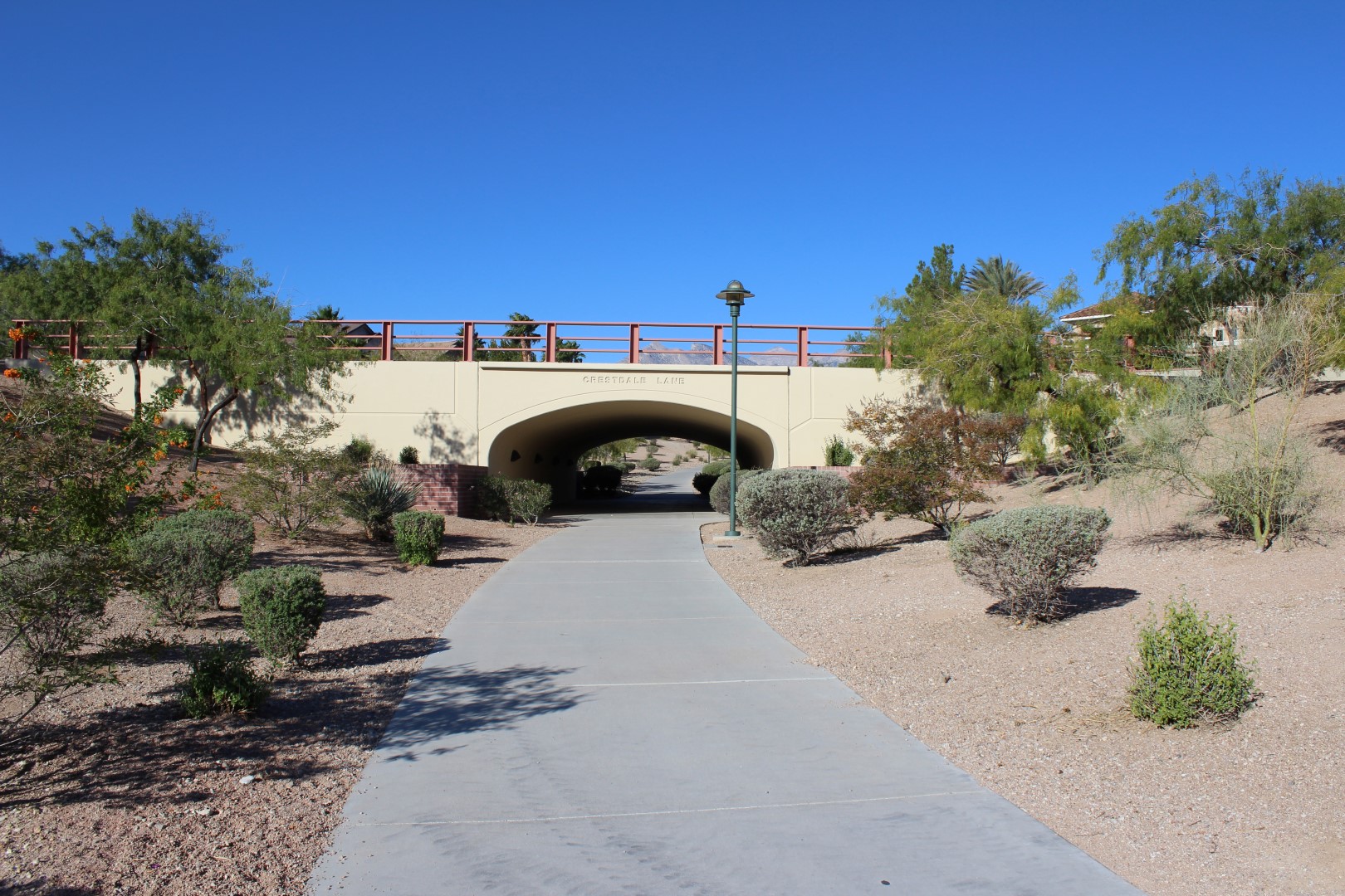
Crestdale Lane underpass.
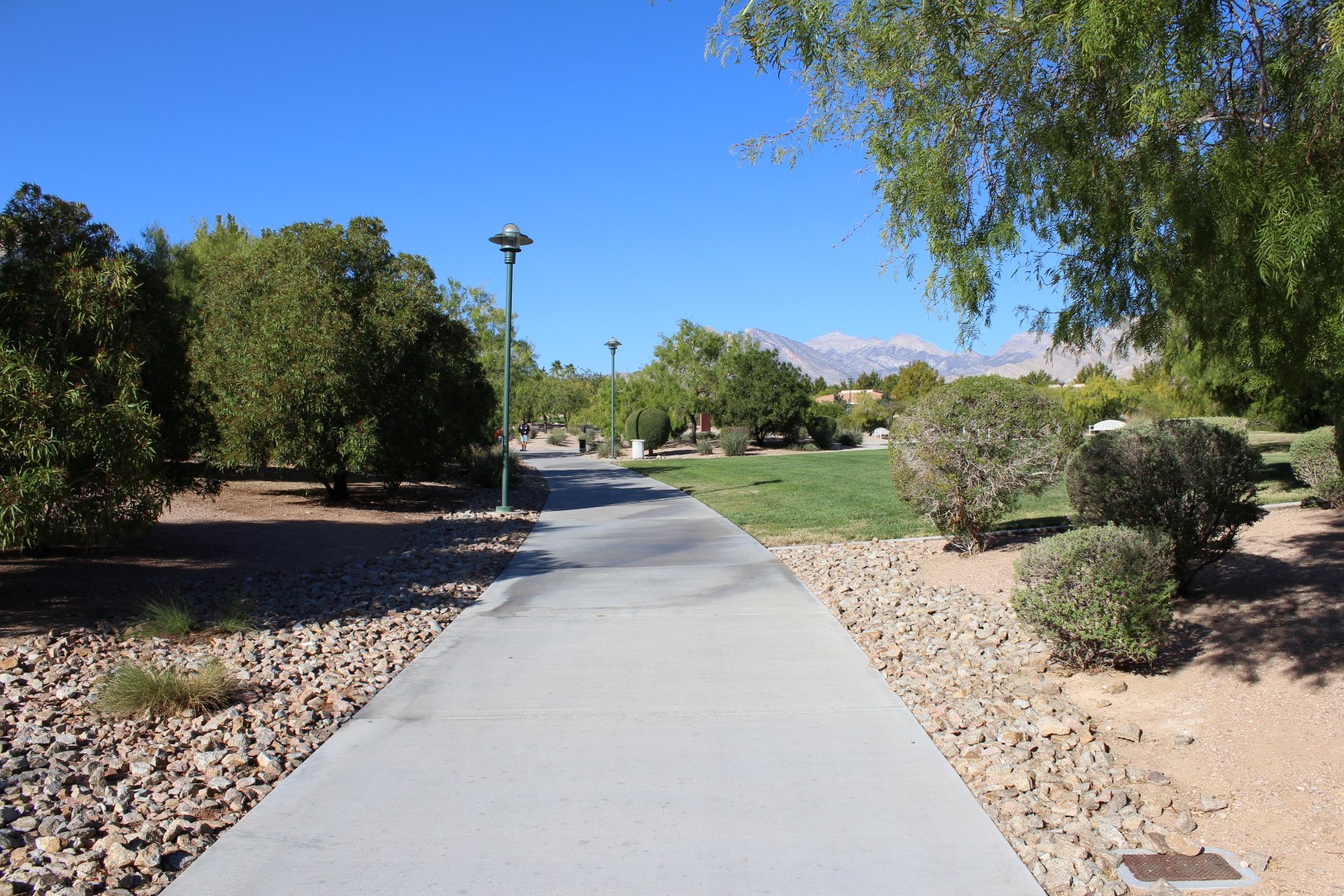
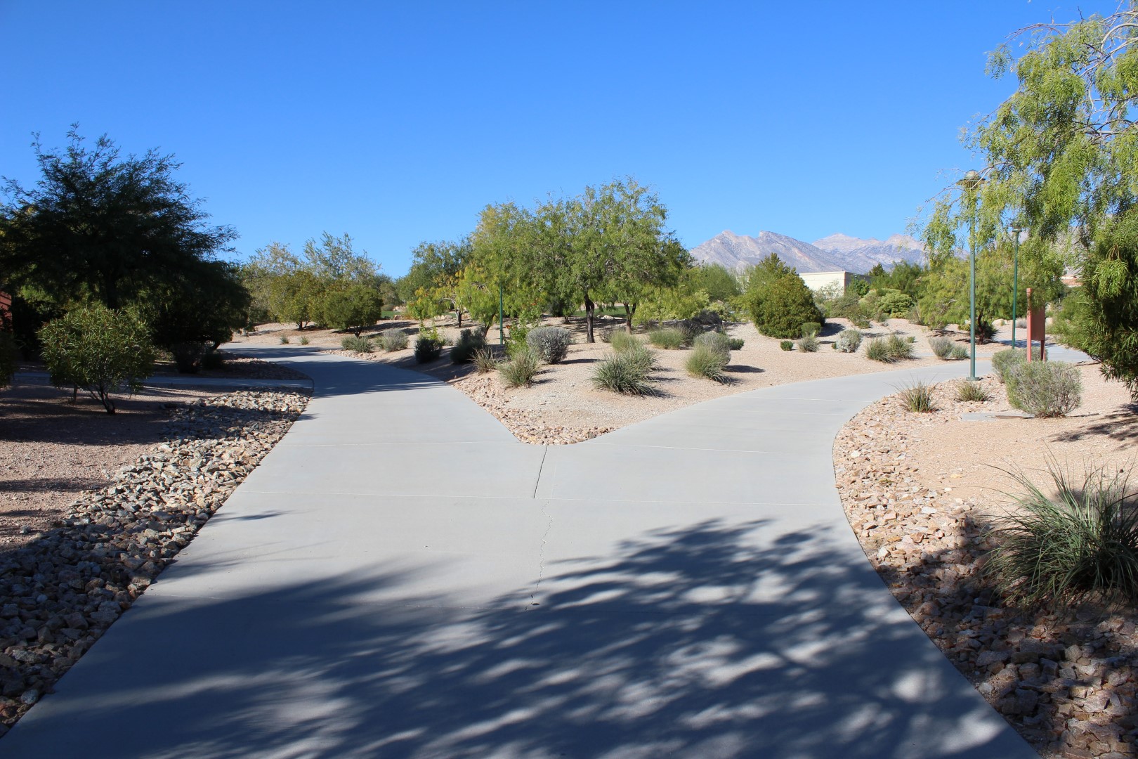
At this point you can go either way, as you will loop back to this point. For purposes of the order of photographs, I went right.
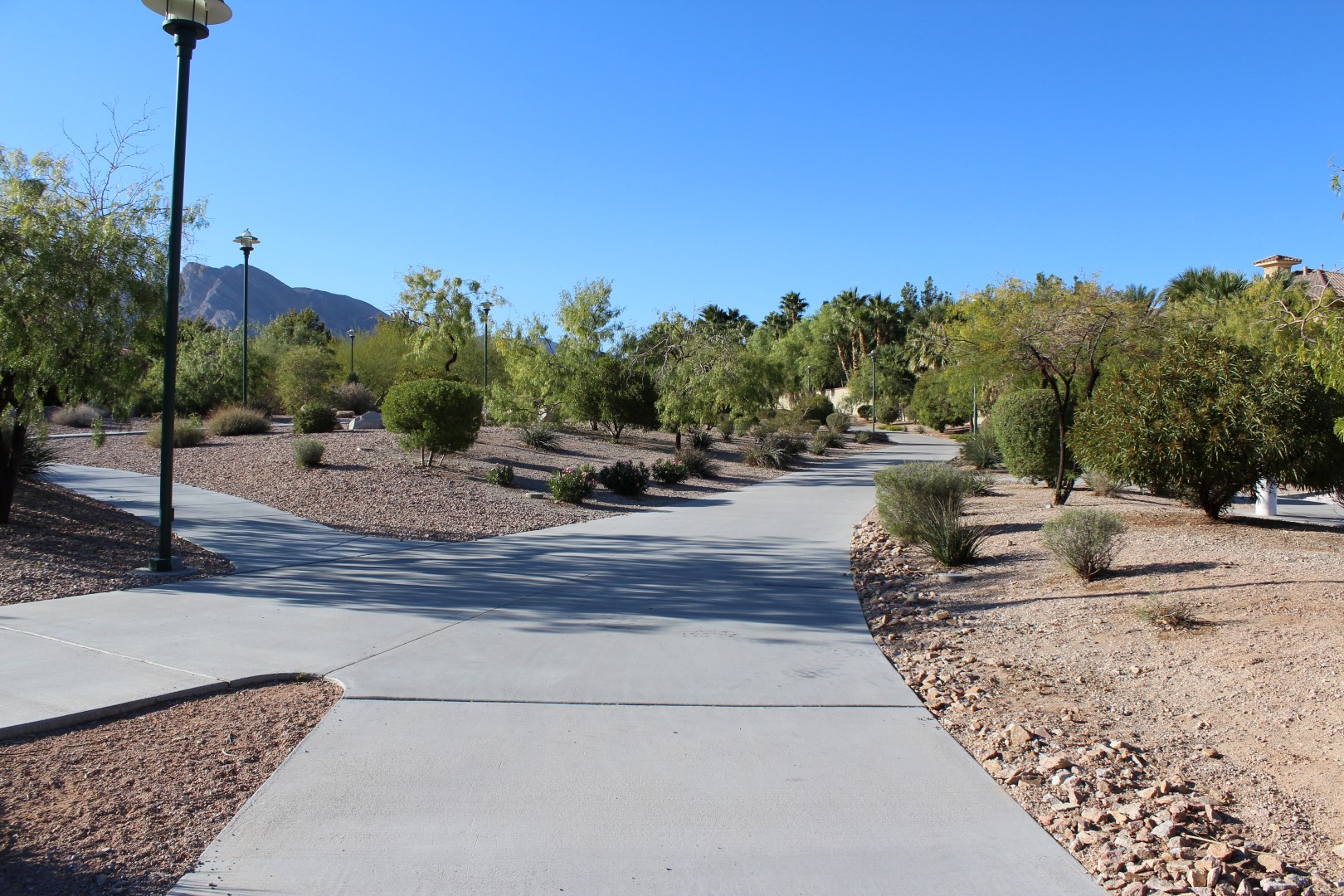
To go the full way, stay to the right. You can take a shortcut with that path to the right of the lamp post.
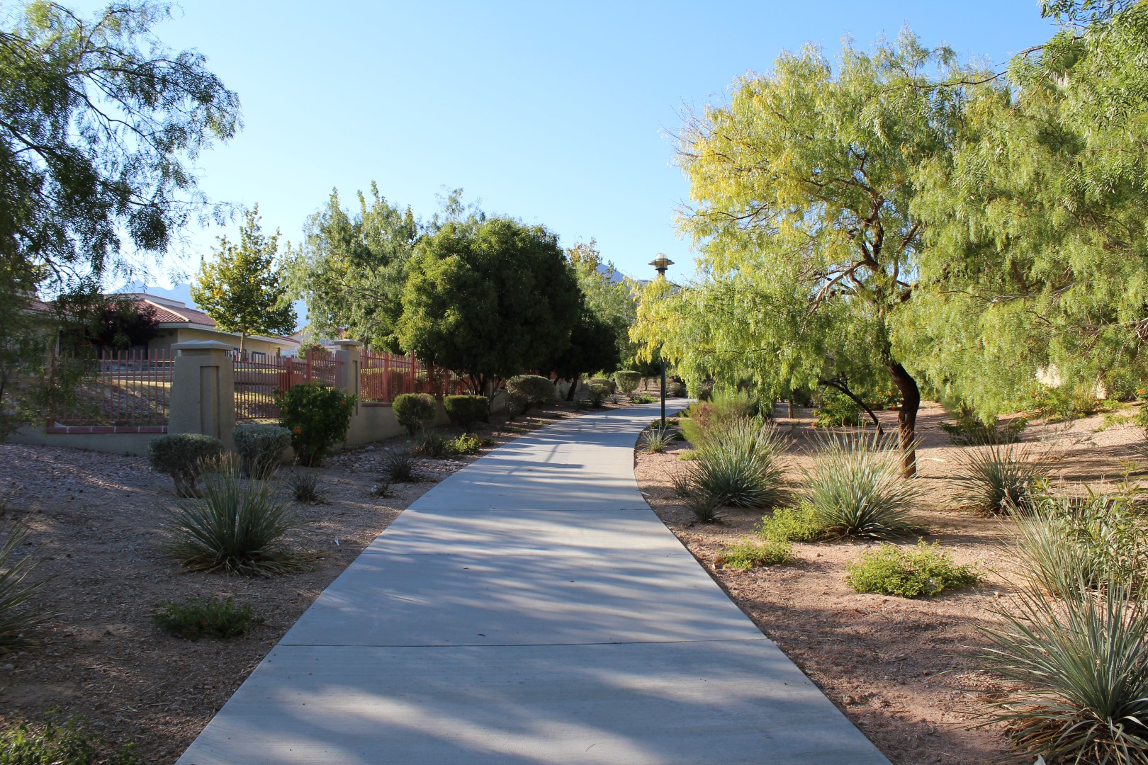
That is the Merryhill school on the left. Sometimes the kids kick or throw a ball over the fence. If you see one, throw it back into the schoolyard.
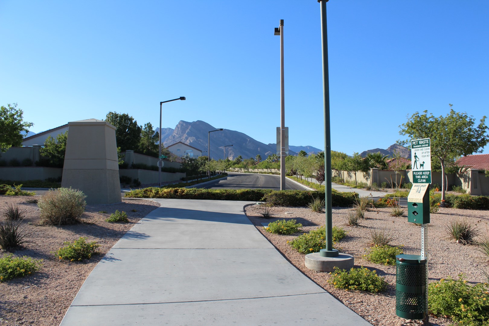
Turn right when you get to the sidewalk, and follow along Snow Trail for about a minute.
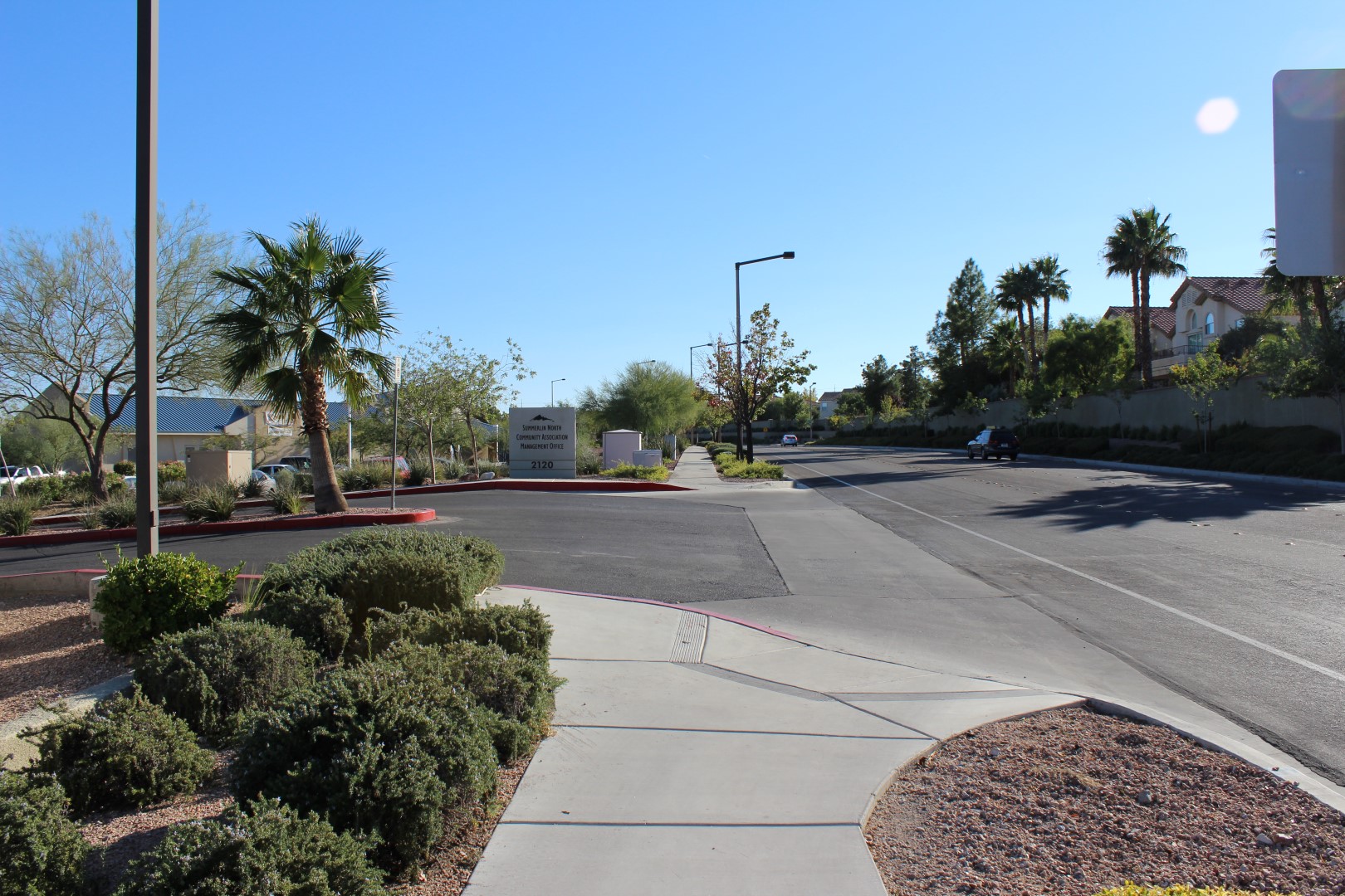
When you get here just keep going straight.
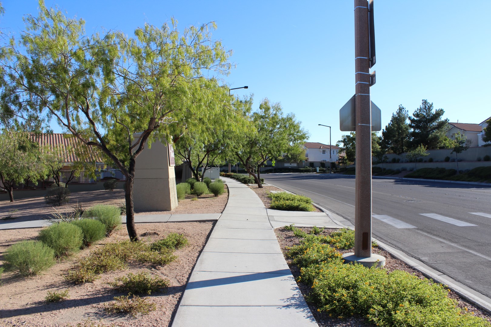
Turn left, back into the park, here.
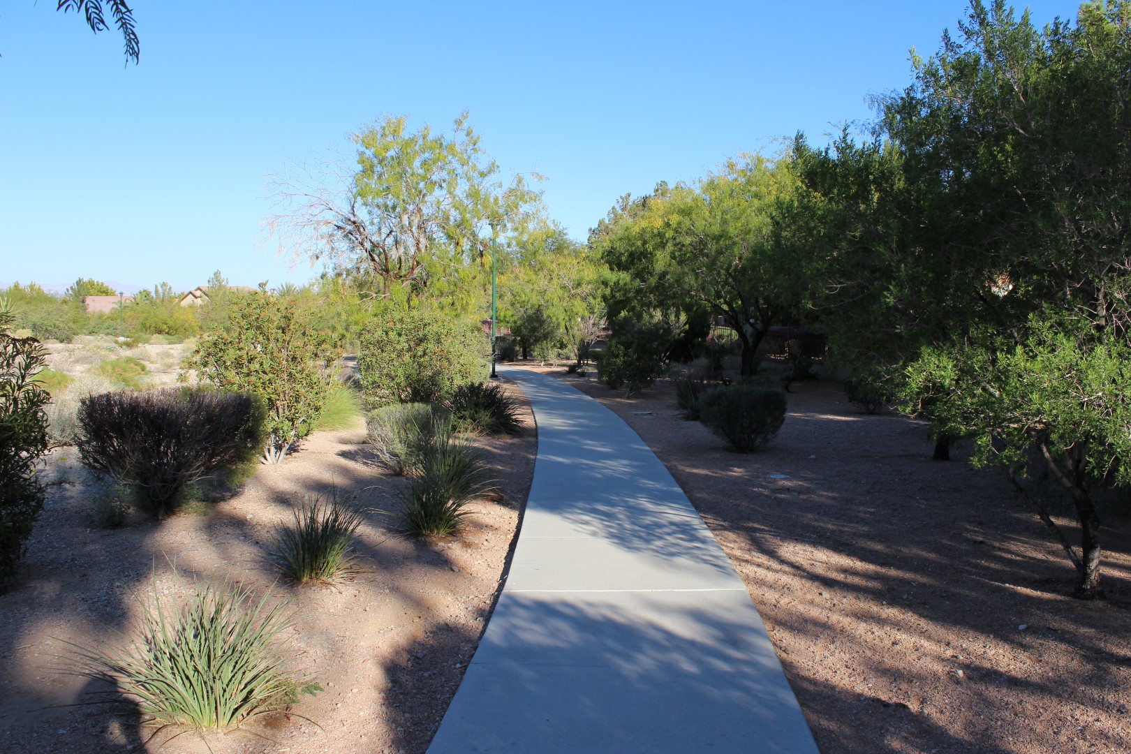
Enjoy the desert landscaping as you follow along the path.
You're back to the intersection. Turn right to back to the Trails Park.
Links
- Go to index of Las Vegas exercise trails.
- Trails Park Trail video.
Related Articles:
-

Turtlehead
Jan 02, 2010 -
Neon Boneyard
Feb 11, 2011 -
Buffalo Bill’s Resort and Casino
Jun 01, 2015 -
Grand Canyon West Rim
Jun 14, 2018 -
MGM to Charge for Parking
Jan 16, 2016