by Michael Shackleford • Oct. 19, 2013
Key Facts
- Northern terminus: Charleston Blvd., just north of the 215.
- Southern terminus: Tropicana Blvd., just north of the 215.
- Distance: 5.6 miles.

Click on any image for a larger version. Image from GoogleMaps.com.
This is a fast yet boring trail that runs along the west side of the 215 beltway, from Charleston to Tropicana Boulevards. Signage indicates it keeps going as far as Russell Rd. and Decatur Blvd., but there is no dedicated path in many places. Tropicana is as far south as I've taken it. What little traffic you'll see is predominately bicyclists.
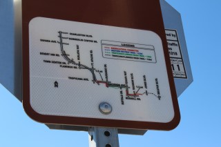
This map, at the Charleston terminus, shows the full route.
The trail is mostly easy to follow. At the street crossings, sometimes you go under, once (at Town Center Drive) you go over, and occasionally you have to use the crosswalk. There are some spots where the path is not exactly on the other side of the crosswalk, so I've taken pictures to help you avoid getting lost.
These photos were taken starting at Tropicana and going north.
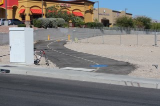
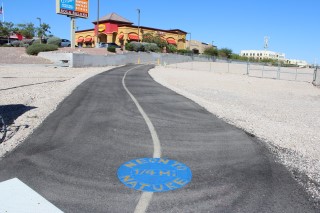
Start here, on Tropicana, just west of the beltway. Look for the Denny's.
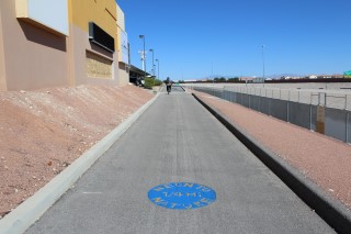
And you're off...
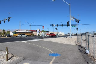
First street crossing. Cross Fort Apache Road first, turn right, and cross Peace Way.
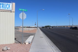
After passing the gas station and a storage place, make a quick left turn here.
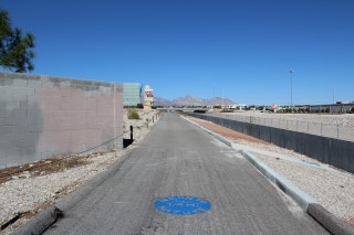
Nice straight path until the next street crossing.
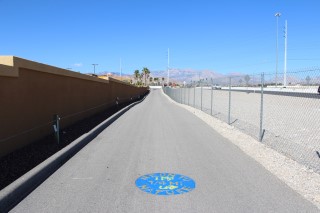
So easy to follow, a blind man could do it.
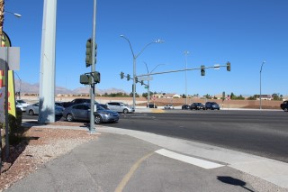
Use the crosswalk to cross Flamingo. When you get to the other side, turn left and the path continues to the right about 30 feet ahead.

Here is where you continue north of Flamingo.
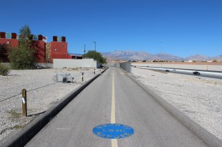
You find shopping carts all over the place in Vegas.
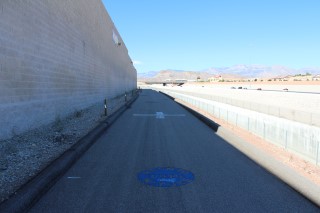
Straight shot to the next street crossing.
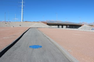
Coming up to Hualapai. The path conveniently goes under it. If you want to exit here, there is a side path to Hualapai on the other side.
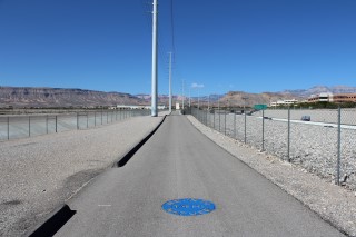
Enjoy the mountain scenery.
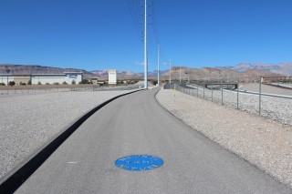
Las Vegas is the third sunniest major city in the United States (behind Yuma and Phoenix), with 210 sunny days per year. It seems like even more than that.
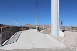
Coming up to the Town Center Drive bridge. Stay to the left to go over it.
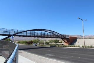
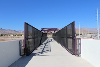
The bridge.
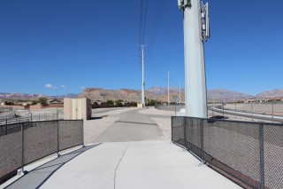
When you get to the other side just keep going straight.
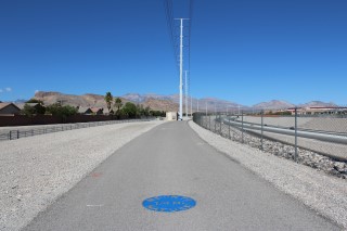
Not a good place to fly kites.
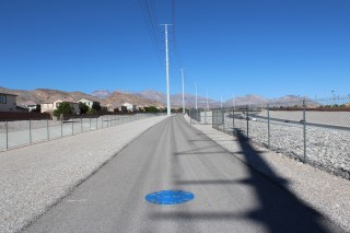
Another straight shot to the next street crossing.
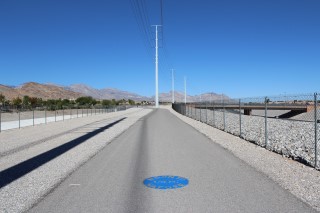
Coming up to Desert Inn road.
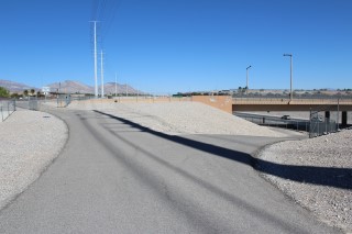
Turn right to go under Desert Inn.
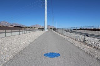
Did I mention this trail is straight and boring?
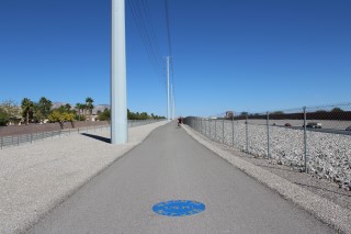
You can see the Red Rock hotel/casino in the distance, which is close to where the trail ends.
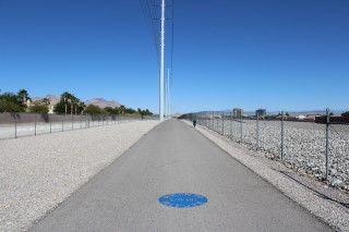
A quarter mile later and everything still looks the same.
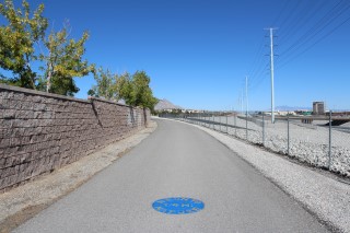
Getting close to the Sahara crossing.
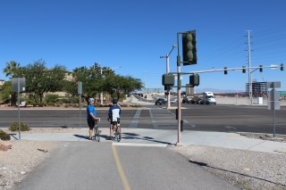
Use the crosswalk to cross Sahara. The path is directly on the other side.
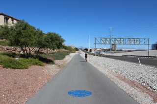
Back to the grind.
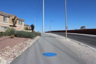
The path gets a little curvy.
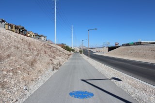
Approaching Summerlin Center Drive.
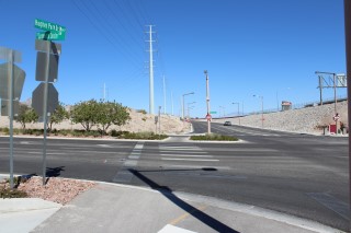
Cross Summerlin Center Drive. When you get to the other side, turn left. The path will continue about 100 feet ahead.
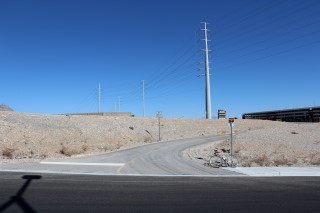
Here is where the path continues, on the north side of Summerlin Center Drive.
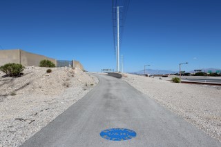
Stay to the right, unless you want to visit the Summerlin power substation.
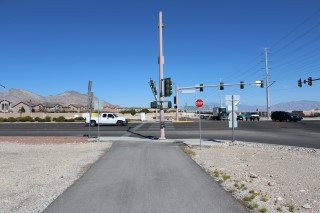
You've arrived at the northern terminus on Charleston.
Go to index of Las Vegas exercise trails.


