


Hualapai Canyon Trail
by Michael Shackleford • Jan. 8, 2014
Key Facts
- Entrance: East side of Hualapai Avenue, between Alta and Town Center Drive.
- Distance: 0.8 miles.
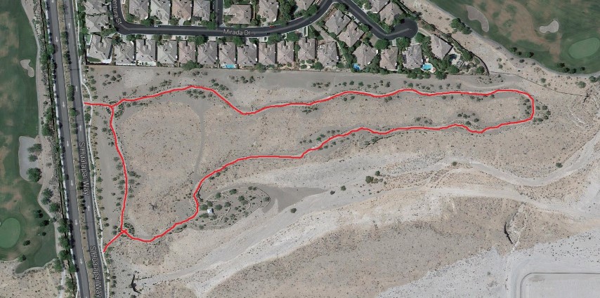
Click on any image for a larger version. Image from GoogleMaps.com.
This is a short and sweet walking trail in Summerlin. It is very well landscaped, well lit, and has lots of beches along the way. It is mainly used by elderly people walking, many walking dogs.
The trail forms a long skinny loop. There are two access points along Hualapai Avenue, between Alta and Town Center Drive. These photos were taken starting at the southern access point and going counter-clockwise around the trail. There is no source of water and nowhere close to park.
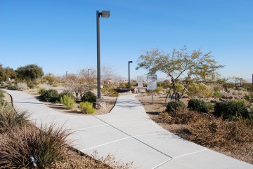
Take the left fork to keep walking along Hualapi. The right fork leads to the trail.
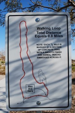
I love it when maps say "you are here" somewhere. Why do maps in shopping malls never do this?
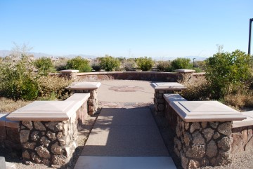
There is a fork in the trail inside this circle. Take the path on the right.
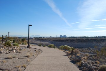
As you can see, the trail is just above a big wash.
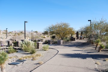
Turn left here. To the right is a nice covered picnic table.
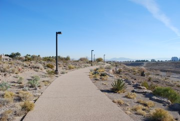
Heading east.
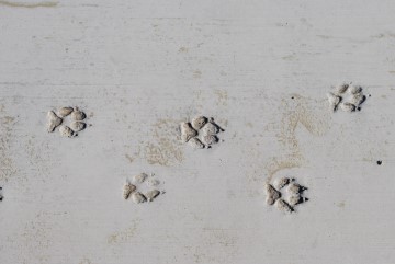
Every 0.1 miles there are animal tracks like this.
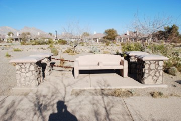
Lots of nice cement benches. Somebody on my forum said the divider in the middle is to keep people from sleeping on them.
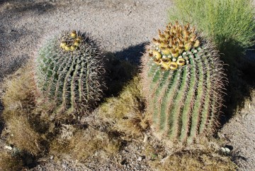
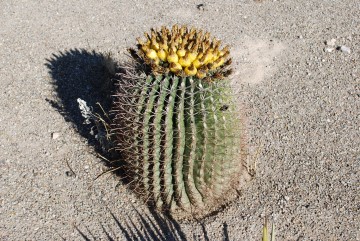
Lots of compass barrel cacti. They call them "compass barrels" because they usually point south. Looks like these are going to bloom soon.
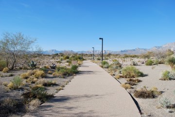
Heading west. The Red Rock mountains are in the far background.
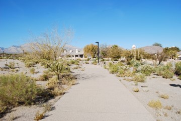
I suspect what few people use this trail live in that neighborhood on the right.
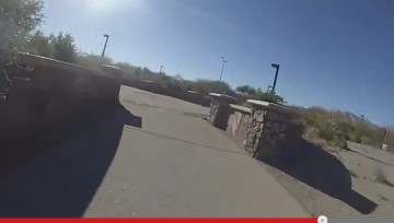
Here is the second juntion, inside that circle. Take the path on the left inside the circle. The photo looks different because it is a screenshot from my video. When I was taking pictures there were a bunch of landscapers in the circle and I thought it would look fishy to take a picture of them.
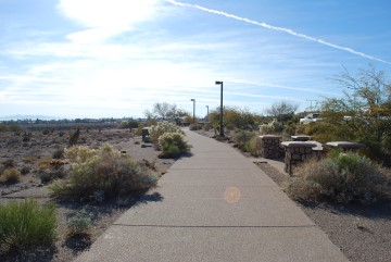
The short section of the path back to the first juntion, seen in the third photo.
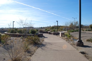
Here is the original circle, seen in the third photo, but approaching from the north, instead of the west. To get back to where you started, turn right.
Links
- Go to index of Las Vegas exercise trails.
- Hualapai Canyon video.
Related Articles:
-

Grand Canyon West Rim
Jun 14, 2018 -
Lake Powell
Oct 23, 2019 -
Glitz To Natural Bliss
Sep 21, 2009 -
Turtlehead
Jan 02, 2010 -
Hoover Dam Bypass Bridge
Nov 05, 2010


