


Rampart Trail
by Michael Shackleford • Oct. 14, 2013
Key Facts
- Northern terminus: Rampart Blvd., north of the Summerlin Parkway
- Southern terminus: Canyon Run Drive, west of the Marriot Hotel.
- Distance: 0.5 miles.
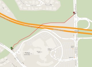
Click on any image for a larger version. Image from GoogleMaps.com.
This is a short trail that begins and ends at arbitrary points along Rampart Blvd. and Canyon Run Drive. Due to the remote ends, this trail gets very little use. I almost never see anybody on it. I lived close to this trail for years without ever knowing it was there. Even as an advocate for public running/biking trails, even I have to pause and consider whether this trail was a waste of taxpayer money.
These photos were taken starting from Alta Drive and ending on Rampart Blvd.
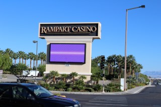
I call this the Rampart Trail, because some of it borders the Rampart Casino, which is connected to the Marriot Hotel.
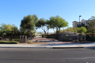
Here is what the southern terminus looks like, just west of the Marriot on Canyon Run Drive.
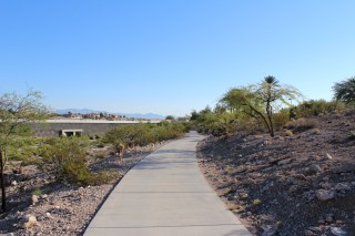
Coming up to Summerlin Parkway.
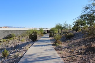
Getting close to the underpass.
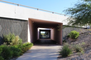
The Summerlin Parkway underpass. This trail is so little known that partying teenagers don't even hang out under the bridge at night.
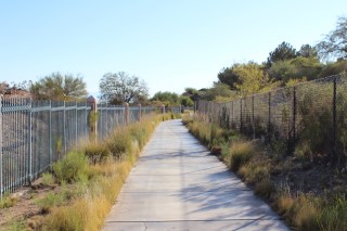
More quiet trail.
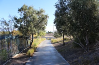
Suddenly we reach the southern terminus on Rampart Blvd..
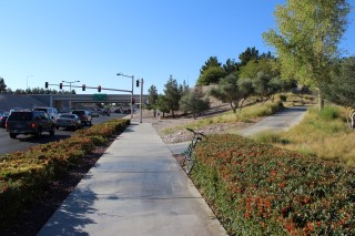
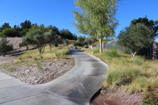
If your're starting from Rampart Blvd., here is what the entrance looks like. Turn right here.
Links
- Go to index of Las Vegas exercise trails.
- Rampart Trail video.
Related Articles:
-

News & Notes 5/1/2016
May 01, 2016


