
Angel Park Trail
by Michael Shackleford • Oct. 14, 2013
Key Facts
- Northern terminus: Bruce Trent Park
- Southern terminus: Alta Drive, west of the Suncoast hotel/casino.
- Distance: 2.7 miles.
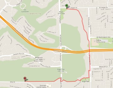
Click on any image for a larger version. Image from GoogleMaps.com.
This is a part of the Neon to Nature system of trails. The Angel Park Trail is called such because much of it borders the Angel Park golf course and it passes Angel Park, which is a public park. It starts at the large Bruce Trent Park, follows a water detention basin, goes along Durango Drive, passes through Angel Park (not to be confused with the golf course), and then follows along the southern border of the Angle Park golf course. It ends at a non-descript point on Alta Drive, west of the Suncoast casino.
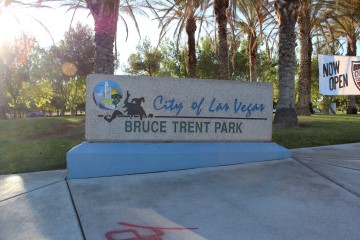
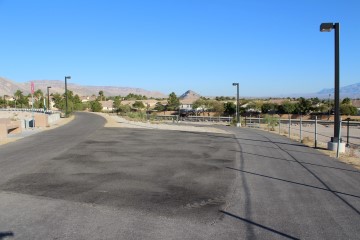
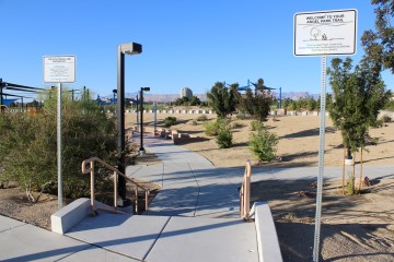
The northern terminus, at Bruce Trent park, normally has plenty of parking. It is such a large park that it may be hard to find the beginning of the trail. The start is just east of the entrance to the park along Vegas Drive.
 &nbsnbsp;
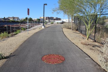
Northern Terminus.
Stay along the detention basin. The photo above was taken facing north. The path to the right, which you don't want, leads to intersection of Vegas Dr and Durango Dr.
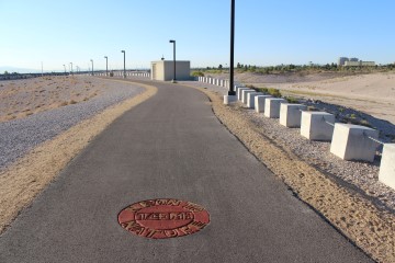
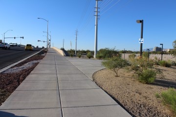
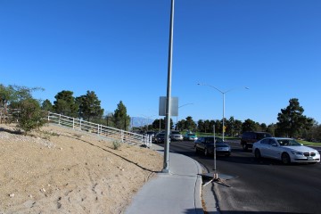
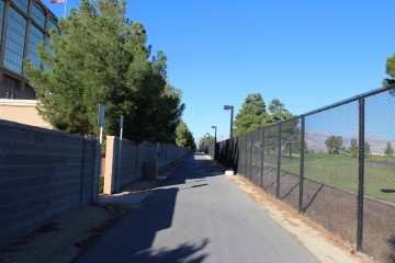
The detention basin is on the right. You can see the Suncoast in the distance on the right.
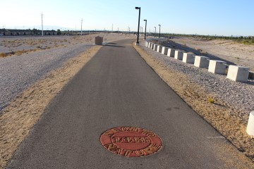
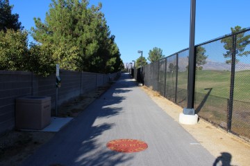
Still following the dentention basin.
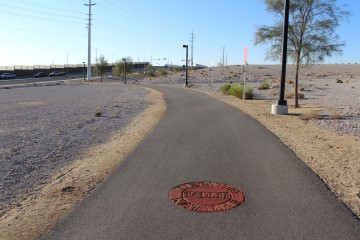
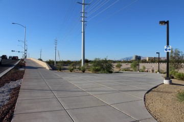
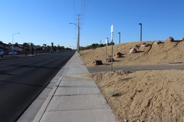
Nearing Durango Drive, where we'll have to take the sidewalk for a while.
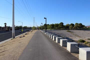
Stay along the street. The path to the right leads to the Bonanza Trail. This is the most likely spot to go astray.
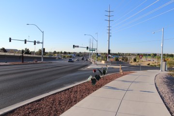
Still following Durango Drive.
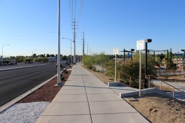
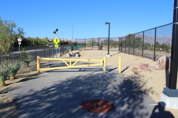
Signage may tempt you to go into the park, but stay along the street.
Here is where we finally leave Durango Drive. Make a sharp right turn here, up the hill.
Now we are parellel to Durango Drive, coming up to Angel Park.
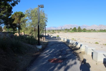
Angel Park to the left and the detention basin to the right.
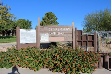
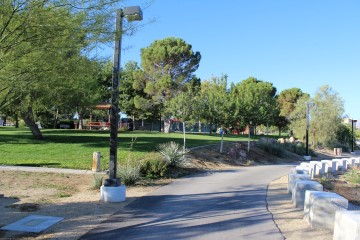
Angel Park.
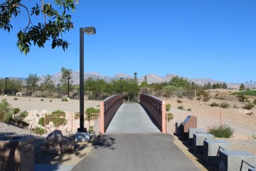
The bridge.
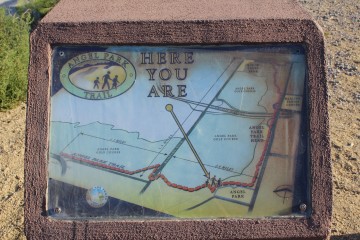
Once in a while you see such maps.
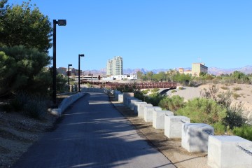
That is the Tivoli Village shopping center in the distance.
Getting close to Alta Drive.
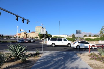
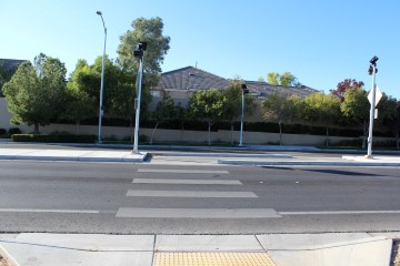
Alta Drive. Here you'll have to use the crosswalk to cross. As soon as you get to the other side, turn right and head north on the sidewalk. An alternative to crossing Alta Drive (which you didn't hear from me -- Shhh!) is via a golf course tunnel under Alta just to the right of this picture. Even GoogleMaps indicates it is part of the trail, but signage doesn't look friendly about stepping onto golf course property.
After crossing Rampart, turn right and follow the sidewalk until just past those white railings.
Make a quick left here, off of Rampart.
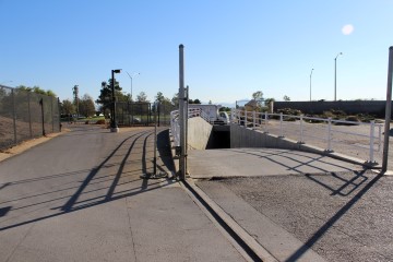
Here is a view of the tunnel entrance from the west side of Alta Drive. It is so tempting.
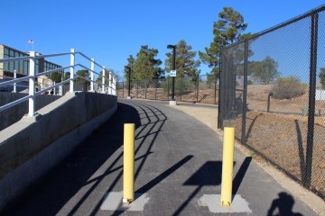
Follow the path, between the Suncoast and golf course.
The straightest part of the trail.
Suddenly you're at the end at Alta Drive.
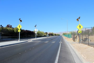
If you're starting from Alta Drive, this crosswalk marks the beginnning.
Links
- Go to index of Las Vegas exercise trails.
- Angel Park Trail video.
Related Articles:
-

Neon Boneyard
Feb 11, 2011 -
Buffalo Bill�s Resort and Casino
Jun 01, 2015 -
Sunshine, Shadows and the Mob
Feb 24, 2017